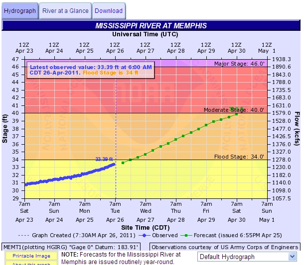
Last month, I did a post on the Mississippi River hitting flood stage at Memphis but it looks like this spring’s conditions could bring us the highest water we will see during our lifetimes. According to the National Weather Service, we could see the highest water since 1997, by the end of the week as the river stage crosses the 40 foot mark.
Tag Archives: flood
Quick guide to Mississippi River conditions
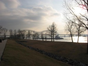
 I realize that some of my friends out in the eastern suburbs don’t get to see it very often, but the Mississippi River is the area’s most notable geographic feature. Friends for our Riverfront has done a great job of exploring the history of the river in the Memphis area with emphasis on Memphis’ historic cobblestone landing.
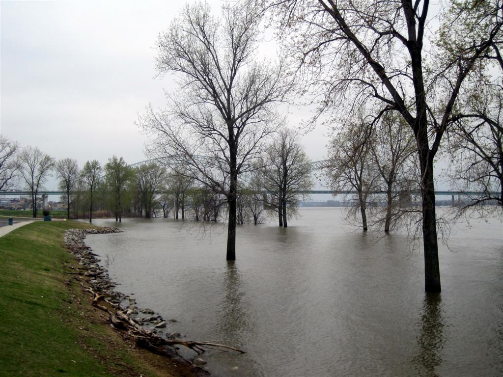
We notice the changes in the river – sometimes more sandbars and exposed banks; sometimes the river widens to miles wide as flooding takes it over the banks on the Arkansas side, and covers the cobblestones at the foot of Monroe. The level of the river can fluctuate as much as 50 feet vertically during the course of a year.
River Stage
River Stage is measured on a scale with 0 feet (zero) being the lowest the water level is supposed to get at Memphis. Record low is -10.7 feet in 1988. Was the river dry? No, but it was low enough to greatly impede barge traffic. Flood Stage at Memphis is 34 feet. 34 feet on the vertical scale is the point where water overflows the low lying river banks, most notable seen looking west from Downtown. At flood stage, you see water for miles on the Arkansas side, until the levee system stops it from going farther. But that’s not all. The stage can go significantly higher. The record high water on the “Memphis gauge” was 48.7 feet during the 1937 flood. Continue reading

